.svg)


Statistics and data science to measure the vital signs of the Earth from satellite
- Science Park
- March 7th, 2023
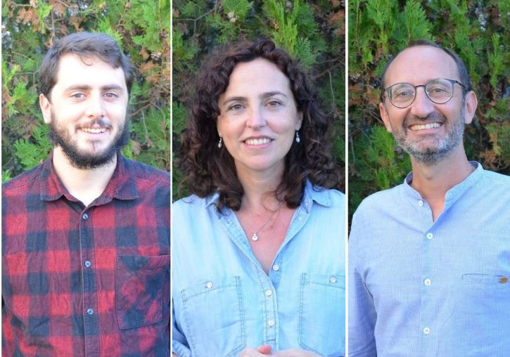
From left, Diego Bueso, Maria Piles, Gustau Camps
An international research team led by the University of Valencia manages to automatically identify the most relevant changes that have occurred on planet Earth in the last 10 years and determine whether their causes are natural or anthropogenic. The results of the work, published in National Science Review, are obtained by combining a new statistical method with data from ESA’s SMOS satellite, which regularly provides global maps of soil and vegetation water content.
Earth is constantly changing in many different ways. This can be observed from space thanks to the information captured by satellite sensors. The paradigm “dry becomes drier, wet becomes wetter” has been suggested in the literature to characterise the most evident effects of global warming. But until now it had not been quantified from the consideration of two factors at the same time: soil water and vegetation water.
The research team that leads this work from the Image Processing Laboratory (IPL) of the University of Valencia, in the Science Park of the academic institution, now confirms that, throughout the last decade, changes have occurred not only of dry to dry and from wet to wet, but also from dry to wet and vice versa. These changes have taken place in ecosystems with mainly humid and semi-arid climates. The study shows how the combination between the water content of the soil and that of the vegetation is key to understanding the ecological dynamics of large ecosystems and their interaction with climate and human activities.
The study published in National Science Review shows notable changes related to human activity –deforestation and forest fires, artificial reforestation, abandonment of crop fields– and climate changes related to the variability of rainfall, among others. But the most novel results of the work have to do with the capacity of the system used; this is a method that is automatically capable of identifying the areas of the planet most affected by the main trend changes in both soil water content and plant water content, and discerning whether the detected change is product of nature itself or has been given by anthropogenic causes.
To do this, the team uses data on soil moisture (SM) and vegetation optical depth (VOD) from the Soil Moisture and Ocean Salinity SMOS mission of the European Space Agency (ESA). This is the first mission that, designed to measure the humidity of the planet’s soil, also makes it possible to measure the water content of plants and the salinity of the oceans.
“The article presents a basic statistical analysis to extract the trends of SM and VOD throughout the last decade. Unlike previous approaches, which focused on analysing trends of a single variable, in this case what we have done is jointly use data on soil moisture and plant water content, and this has allowed us to identify spatial patterns. very clearly”, says Gustau Camps-Valls, head of the Image and Signal Processing (ISP-IPL) group at the University of Valencia and holder of two ERC grants.
Diego Bueso, a researcher at the IPL and first author of the paper, states that “the challenge was to find an explanation for the changes; find its causes. Although in some cases they were obvious, such as deforestation in the Amazon, we have also been able to identify different subregions with contrasting behaviours; some due to massive logging and others more subtle due to climatic impacts”.
The work is based on the first record of global estimates by L-band microwave satellite, from 2010 to 2020, of the SMOS mission. “Our work illustrates the value of satellite missions that measure the Earth's emission at microwave frequencies, particularly in the L-band, which is very sensitive to water content in soils and vegetation, even in regions with areas densely vegetated like the Amazon, which makes it unique”, explains María Piles, a Ramón y Cajal researcher in the ISP group and a member of the advisory group for the future CIMR mission, which is part of the European Commission’s Copernicus system expansion program.
This new approach can be applied to other variables and spatiotemporal scales to measure terrestrial vital signs.
The team is made up of research staff from the IPL of the University of Valencia, the Laboratoire des Sciences du Climat et del Environnement de la Université Paris-Saclay, and the INRA Centre of Bordeaux Aquitaine.
Original publication
“Soil and vegetation water content identify the main terrestrial ecosystem changes”
Bueso, D. and Piles, M. and Ciais, P. and Wigneron, J-P. and Moreno-Martínez, A. and Camps-Valls, G. National Science Review : (1-22), 2023.
More information:
Other News
Tags
Covid
Culture
Studies
Institutional
Organisation
People
Research, innovation and transfer
University and Society
Living at the University