Gonzalo Mateo García
I’m a researcher at the United Nations Environment Programme International Methane Emissions Observatory. I collaborate with the Image and Signal Processing Group at Universidad de Valencia with Prof. Luis Gómez-Chova.
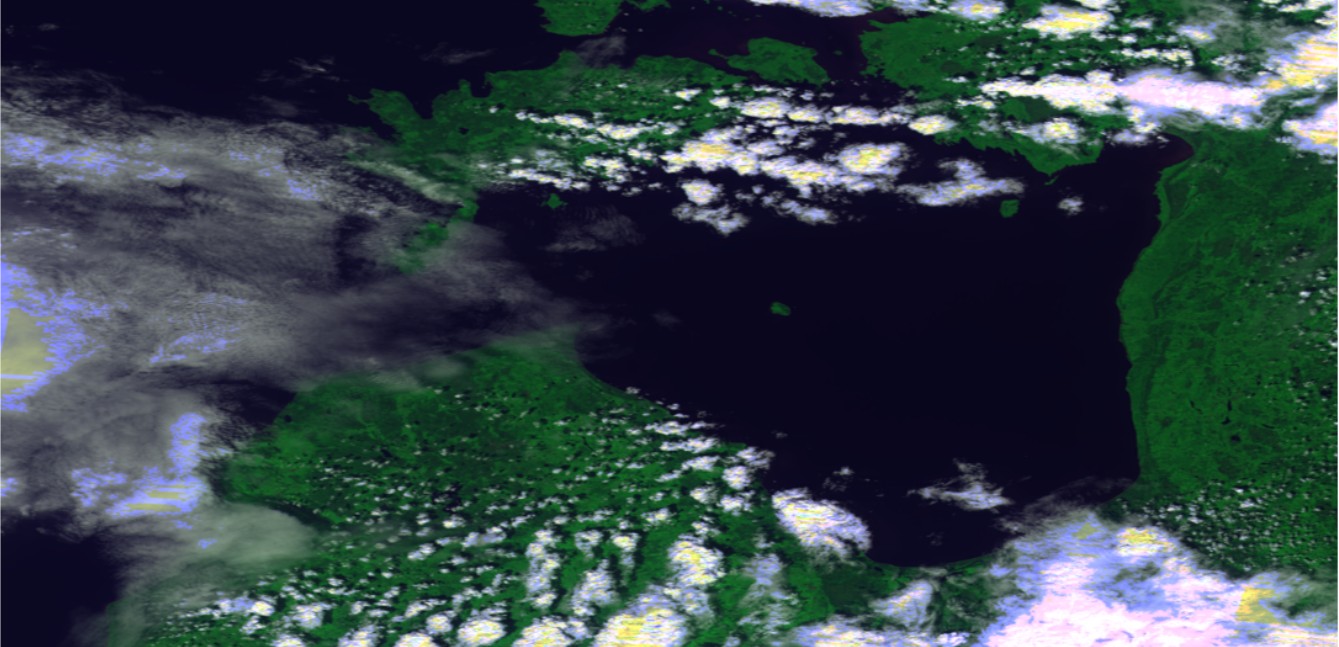
My research currently focuses on methane detection from remote sensing imagery (multispectral and hyperspectral🛰️). Previously, I conducted research in the intersection of machine learning and the Earth sciences: I have developed AI models for methane plume segmentation, super-resolution, domain adaptation, change detection, cloud detection, flood segmentation, crop yield estimation and also for weather and energy forecasting. We’ve even deployed one of these models onboard a satellite 🚀🛰️.
2024
I maintain the official 🇺🇳 UNEP IMEO methane plume product available at the IMEO data portal currently with roughly 7,000 high-resolution, validated, methane plumes detected across different satellite constellations (Sentinel-2, Landsat, EMIT, EnMAP and PRISMA 🛰️). See methanedata.unep.org 🌐.
📰 UNEP IMEO methane detections and mitigation cases have been highlighted in The Guardian, Bloomberg or El País.
We collaborated on the mapping of the devastating floods in Valencia of October 2024. Our analysis using ml4floods and OpenSR super-resolution models is available here. The official product created by the Universitat de Valencia is available here. In the news: 📰 El Confidencial, 📰 National Geographic.
The results of our 🛰️ ESA DTACS project have been published in 📄 IEEE JSTARS journal. In DTACS we propose and test models for onboard cloud detection and atmospheric correction ☁️✨. Our trained models are available on the DTACSNet public repository.
We released CloudSEN12+ ☁️ an extension of CloudSEN12 dataset with more and better labels for cloud and cloud shadow segmentation in Sentinel-2 🛰️. 📄 Paper, 🤗 Dataset, 🔧 Python package with trained models.
We published CH4Net in the 📄Atmospheric Measurement Techniques journal. CH4Net is the first 🤖AI model to tackle methane plume detection in Sentinel-2 images. A refined version of this model is currently deployed at 🇺🇳 UNEP IMEO to drive gorvernment and company notifications within Methane Alert and Response System.
2023
I’ve joined 🇺🇳 UNEP IMEO to develop the Methane Alert and Response System.
Our work in change detection and model adaptation onboard has been featured in the ESA web page and in Oxford news.
Proba-V Collection 2 has been released with new cloud masks produced by our cloud detection model ✨☁️.
We published 📄 STARCOP a deep learning model for semantic segmentation of methane plumes in hyperspectral satellites. 📰 Oxford news made a superb press relase of this work. This paper is included in the top 100 articles of 2023 of Nature Scientific Reports journal 🎉.
We published an upgraded version of the WorldFloods🌊 dataset together with trained models 🤖 for flood extent segmentation for Sentinel-2 and Landsat. See our 📄 journal paper for an extensive validation and results on two very large scale events in Pakistan and Australia.
2022
I led two research projects on methane detection (STARCOP) and atmospheric correction emulation (D-TACS) in the context of ESA Cognitive Cloud Computing in Space initiative. This initiative explored machine learning applications to make satellites more reactive, agile and autonomous.
I successfully defended my Ph.D. Thesis titled Transfer learning of Deep Learning Models for Cloud Detection in Optical Satellite Images.
I participated in the development of CloudSEN12 an open-sourced global dataset and a model for cloud and cloud shadow masking in Sentinel-2. See CloudSEN12 in the Google Earth Engine. In my experience, the models trained on CloudSEN12 produce the most accurate cloud and cloud shadow masks for Sentinel-2 (try the model here). This work is published in Scientific Data.
2021
I led ml4floods, an initiative of Trillium developed during FDL and enhanced with the funding of the United Kingdom Space Agency (UKSA). ML4Floods in an end-to-end flood mapping system: from data acquisition, pre-processing to flood extent estimation and visualisation. ML4Floods includes deep learning trained models for flood detection in Sentinel-2 and Landsat imagery. ML4Floods is used to map large-scale flooding events such as the Australian East Coast floods in 2022 or the floods in Pakistan in 2022. ML4Floods has been used by third party agencies such as UNOSAT-UNITAR and it has been featured in the ECMWF-EUMESAT MOOC in AI for Earth monitoring.
We ran a set of experiments onboard D-Orbit’s ION satellite to demonstrate an ML payload. See ESA, Oxford or UV press releases. The payload was able to reduce downlink latency, adapt to different optical instruments and be updated directly in space. This work has been published in Scientific Reports.
In participated in an Frontier Development Lab Europe winter research sprint working on multi-image super resolution for Sentinel-2. The outcome of this work is published in the ISPRS Journal of Photogrametry and Remote Sensing.
I participated as a mentor in Frontier Development Lab Europe research sprint working on onboard unsupervised change detection. The outcome of this work is published at Scientific Reports.
2020
I participated as a researcher in the NASA Frontier Development Lab research sprint working on monitoring water on small streams. This project was funded by NASA and the United States Geological Survey (USGS).
I participated in the Cloud Masking Intercomparison eXcercise organized by the Commitee on Earth Observation Satellites (CEOS) and sponsored by ESA and NASA. The results of this study are published in Remote Sensing of Environment.
Our work in adversarial domain adaptation for satellite images was published in IEEE JSTARS journal. This video shows some images of the model in action.
2019
I participated as a researcher in the Frontier Development Lab 2019 Europe research sprint working in the Disaster Prevention, Progress and Response team on onboard flood segmentation. The results of this work are published in Nature Scientific Reports.
Our work in transfer learning for cloud detection between Landsat-8 and Proba-V was published in the ISPRS Journal of Photogrammetry and Remote Sensing.
2018
We developed the operational cloud detection algorithm for Proba-V that has been run on the full Proba-V archive in the C2 reprocessing.
2017
I worked under a Google Earth Engine Award project developing machine learning cloud detection algorithms. We published our results in the Remote Sensing journal. This link has a nice demo with some results.
Our ML-based model for detecting clouds in Proba-V images ended up in second position in the ESA Proba-V Round Robin Exercise only 0.1% less accurate than the leading solution. Results of the comparison exercise were published the Multitemp conference.
2012 - 2016
I worked for several years as a software engineer in renewable energy forecasting at MeteoLogica.
Please feel free to contact me at: