The Global Change Unit
The Global Change Unit (GCU) is a Reseach group of the University of Valencia since 1996, established on the initiative of its current director José A. Sobrino, professor of Earth Physics.
The Global Change Unit focuses its research on changes that happen on our planet, which are analyzed through Remote Sensing Satellites and Digital Treatment support. The aim of our research group is to develop operative algorithms to estimate different biophysical parameters (Land Surface Temperature, Sea Surface Temperature, surface emissivity, ground albedo, thermal inertia, evapotranspiration, radiation, atmospheric water vapor content, among others) as well as to study their evolution throughout the years. All of this is based on remote sensors localized on satellites platforms (AVHRR, TM, AATSR, MODIS; SEVIRI, METOP, ASTER, S2, S3, VIIRS) and airborne sensors (DAIS, AHS, etc).
In addition, the GCU also organizes and carries out field campaigns to characterize these parameters using Radiometers, thermal cameras, etc. Moreover, we operate several ground stations around Spain to calibrate and/or validate such biophysical parameters.
MTG antenna
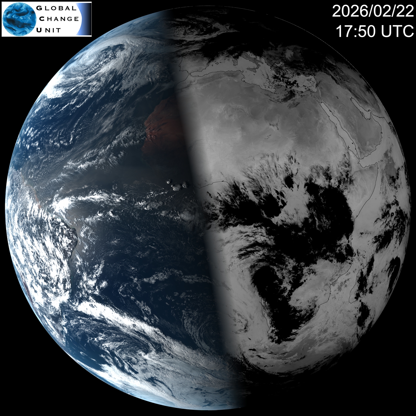
The Global Change Unit managed an image reception system for MSG-SEVIRI satellite since 2007. This station was updated at the end of 2025, replaced by a MTG FCI receiving station, acquired from the UK company DARTCOM thanks to the spanish Council of Ministers, within the framework of the project "Contribution to the scientific exploitation of the high resolution thermal mission LSTM (LSTM-LPI, project PCI2024-155113-2)".
The system consists of a 1.35m satellite dish connected to a Novra S401 Pro receiver, and a PC to decode the data received from the MTG FCI sensor encoded in the EUMETCast system. After decompressing the MTG FCI data files, these data are transmitted to a processing PC, where the parameters presented in this webpage are estimated automatically. These results are then stored on a dedicated server, amounting to almost 8 TB per year.
This sensor acquires data in 8 channels dedicated to visible and near-infrared, centered at 0.4, 0.5, 0.6, 0.8, 0.9, 1.3, 1.6 and 2.2 μm, and 8 channels for the infrared, centered at 3.8, 6.3, 7.3, 8.7, 9.7, 10.5, 12.3 and 13.3 μm. Its spatial resolution at nadir is 1 km by 1 km for the visible and near infrared bands and 2 km by 2 km for the other channels. Its temporal resolution is 10 minutes.