






University of Valencia logo Logo Doctoral Programme in Remote Sensing Logo del portal

News

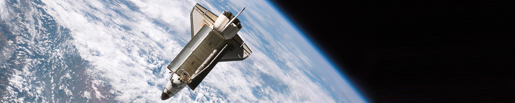
FLEX is now orbiting in space
21/09/26

The University of Valencia (UV) is celebrating the successful launch of the FLEX satellite, which will orbit the Earth for the next four years to study the fluorescence emitted by vegetation during photosynthesis, the source of life on the planet. The scientific research underpinning the mission is...

Hackató PCUV
07/09/26

La Fundació Parc Científic Universitat de València (FPCUV) obri la convocatòria del “Hackató PCUV”, que se celebrarà els dies 16 i 17 d’octubre, dirigit a estudiants de grau, màster i doctorat de la Universitat de València, així com a persones de qualsevol àrea de coneixement interessades en la...


Theses on public exhibition

No search results

Theses pending reading

No search results

Theses read

  • 19258Retrieval of biophysical parameters and spectral unmixing in imaging spectroscopy through statistical techniques
  • 19252Analysis of urban heat environment combining satellite, airborne data and in-situ measurements
  • 19006Hybrid probabilistic deep learning for drought monitoring
  • 19148Probabilistic machine learning for aerosol remote sensing
  • 19149Impacto del cambio climático en la temperatura de las grandes aglomeraciones urbanas del mundo
  • 19064Emulation of computationally expensive processes applied to experimental data from hyperspectral sensors
  • 18969Uncertainty-Aware Deep Learning for Earth Observation
  • 18893Heatwaves over the Mediterranean region under climate change: characterisation, recent evolution, and impacts
  • 18775Modelling global terrestrial carbon fluxes driven by Sentinels 3&5P and ERA5 data with Gaussian process regression
  • 18862Análisis de misión y definición de requisitos de la misión ECO: misión SAR espacial
  • 18778Studying the aerosol-cloud interactions combining ground-based remote sensing and machine learning
  • 18538From field to global a phenology-informed framework for yield monitoring and climate risk assessment in winter cereals
  • 18551Calibración de nuevos sensores térmicos a bordo de satélite y validación de productos de temperatura superficial terrestre
  • 18264Quantifying Essential Vegetation Traits: Global-Scale Retrieval, Temporal Reconstruction, and Causality Analysis
  • 18158Global wheat normalization: A robust approach based on Growing Degree Days accumulation
  • 18089Machine learning for anticipating sea level variability from regional temperature shifts
  • 17820Use of Sentinel -1, -2 y -3 satellites for water cycle studies. Development of low-cost tools for capacity building and transfer knowledge
  • 17517Optimización de protocolos para mediadas de radiación terrestre en el contexto de estudios de balance de energía de la tierra
  • 17826Methodology for burned areas and fire severity assessment using remote sensing
  • 17704Medida y modelización de parámetros atmosféricos. Correcciones de imágenes de satélites. Corrección nubes altas.

Manteniu premuda la tecla Ctrl mentre us desplaceu per apropar o allunyar el mapa