We resume the measures after the flooding of the rice fields, also called "La Perellonà", in Sueca.
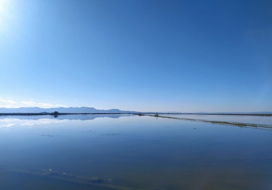
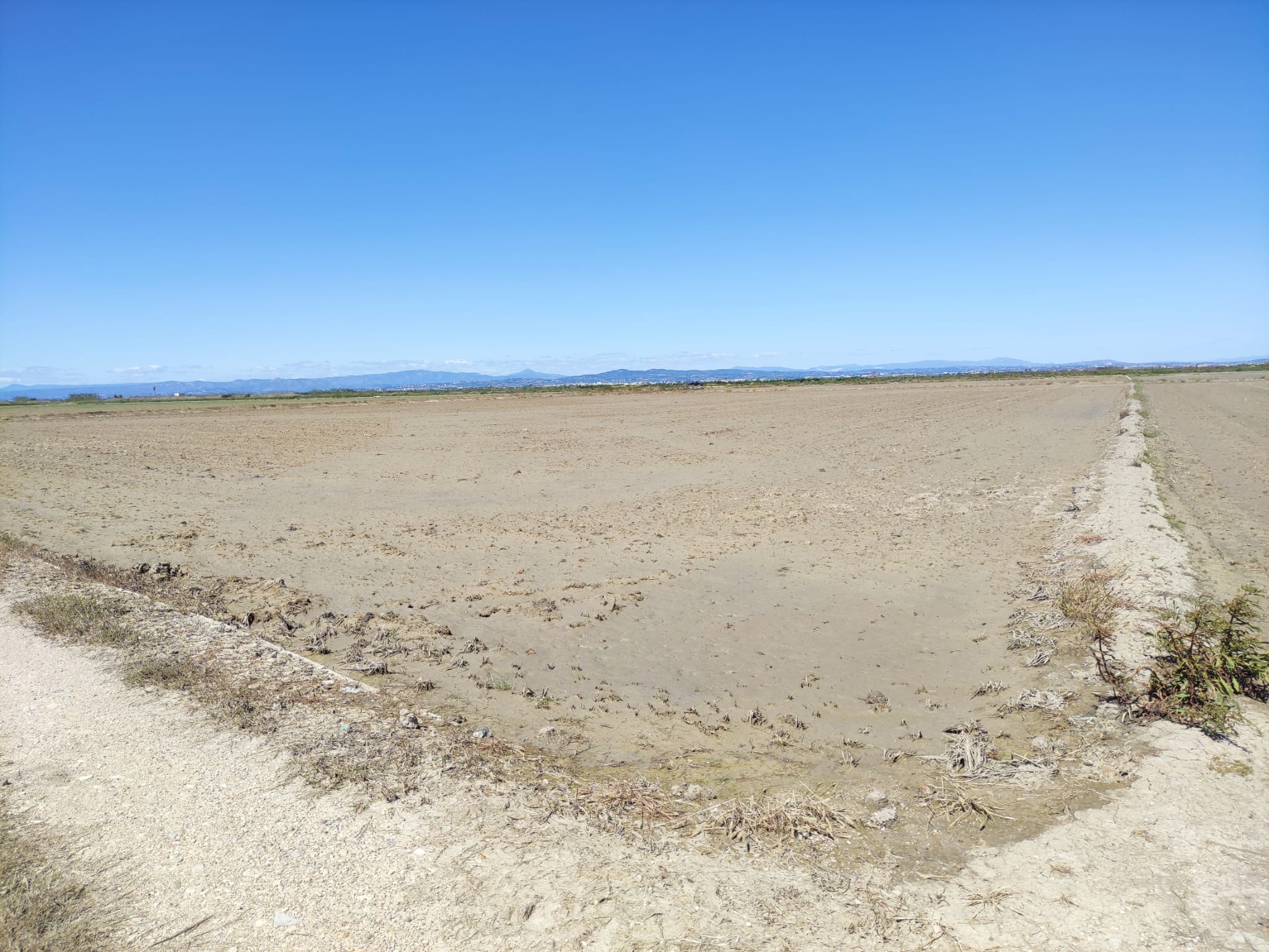
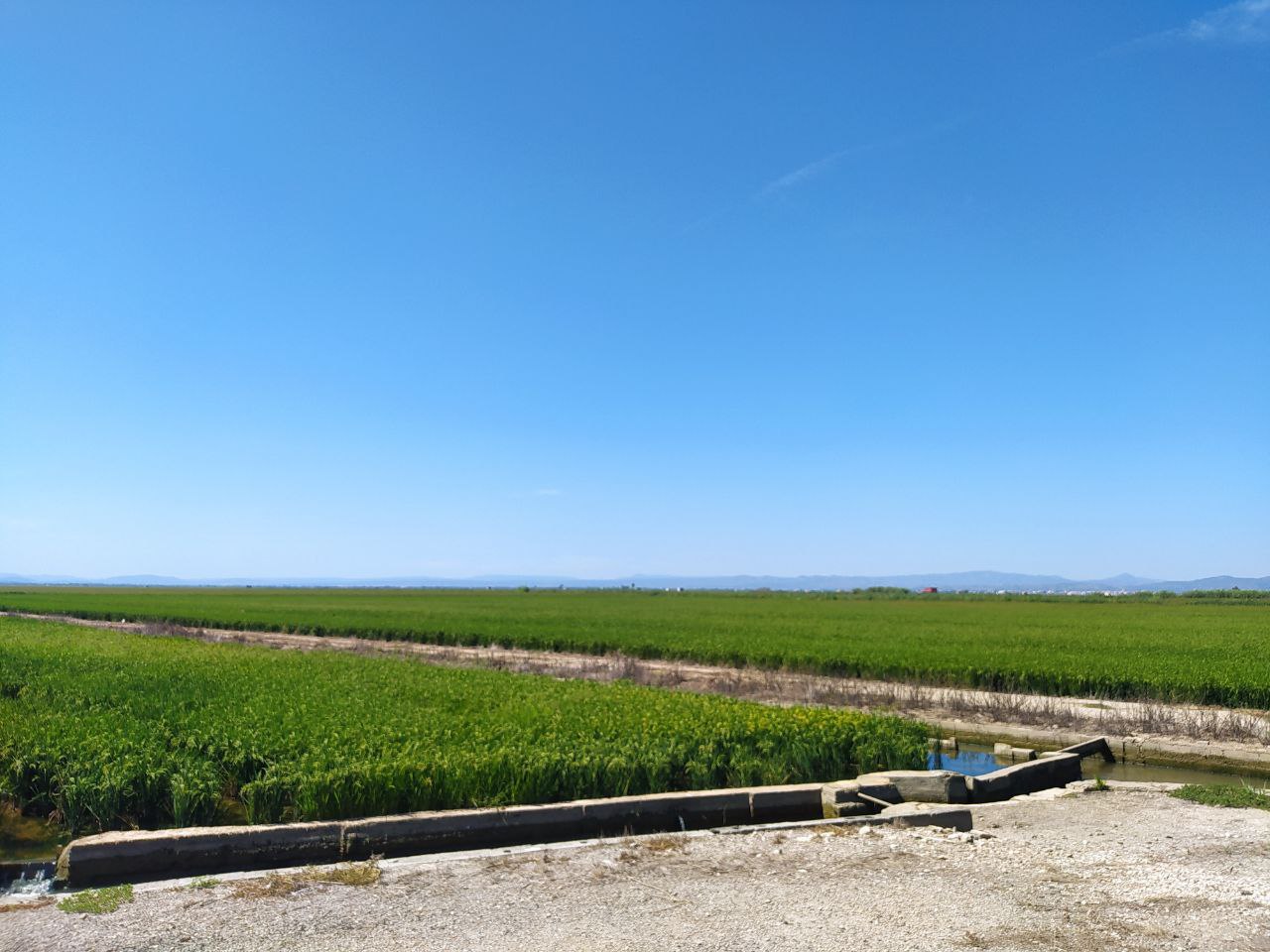
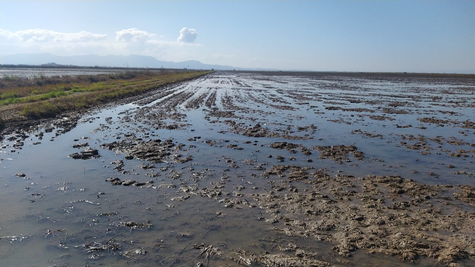
The Sueca fields, full of rice, is an ideal area for the calibration and validation of satellites due to their coarse homogeneity. In addition, the type of soil changes throughout the year due to the different stages of rice cultivation with which we can test our radiometers for different emissivities. From November to January the fields are waiting for the rice planting in spring. During this period, it is used to flood all the fields and the duck hunting preserve begins, during which the fields is full of hunters. This period of flooding is the well-known "Perellonà".
Farmers close the gates at El Perelló beach that evacuate the water from the Albufera to flooding rice fields for more than 2 months. This technique means that during the winter this lake becomes the largest in Spain with a surface area of more than 17,000 hectares. The closure of the gates of El Perelló, Perellonet and Pujol causes roads, banks and ditches to be flooded by the water, some of them inaccessible until the arrival of "La aixugà", the moment in which the gates to dry the fields.
During the campaign we will carry out temperature measurements on the different types of coverage that there will be during the year which are water, humid land, dry land and rice. We will perform our temperature measurements with multiband radiometers that coincide with the spectral bands of the satellite sensors. We will compare these temperatures with the measurements of different satellites such as Landsat, Modis, Sentinel and Metop. In addition, we have a fixed weather station installed that constantly performs measurements.
Images:


