
The team of the project “Artificial intelligence and semantics of Earth observation data for the establishment of the Valencia Anchor Station as a supersite of the CEOS LPV program” (ASOTVAS) has recently published an article in the scientific journal International Journal of Applied Earth Observation and Geoinformation (Elsevier). The publication demonstrates that it is possible to classify land cover with high accuracy using machine learning and deep learning algorithms, even when a limited number of training samples are available.
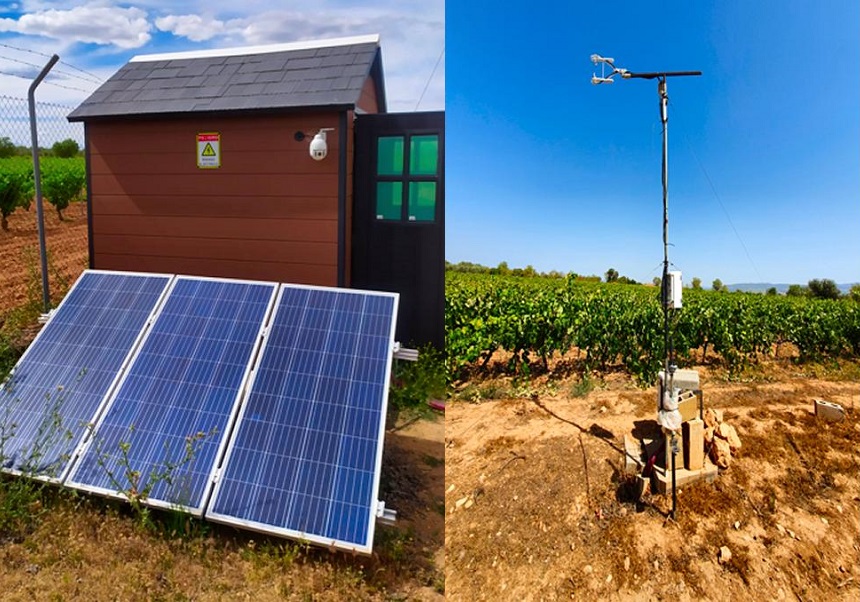
During the three-year duration of the ASOTVAS project, from its start in September 2021 to August 2024, the team collected data related to soil moisture, surface temperature and biophysical parameters of the vegetation in order to improve satellite observations using artificial intelligence and semantic techniques.
The study has focused on the Valencia Anchor Station (VAS), located in the region of Utiel-Requena and where the initiative was developed, a key enclave for the validation of remote sensing data from programs such as Copernicus, CEOS or NASA. In this sense, it has analyzed an area of 10 × 10 square kilometers and its surroundings, up to 30 × 30 square kilometers, using multi-temporal images from the Sentinel-2 satellite for the year 2021.
The research compared six machine learning and three deep learning algorithms in different configurations, evaluating the impact of different levels of temporal resolution, feature selection and reduction in the number of training samples. Notably, the model based on residual convolutional neural networks (ResCNN) achieved an overall accuracy of 96% and a kappa coefficient of 95% in July, coinciding with the maximum vegetative development of the vineyards.
The paper concludes that, using a robust and well-tuned methodology, it is feasible to extend the land use classification to larger areas of 1, 5, and 10 additional kilometers without the need to add new training samples. Furthermore, the developed model significantly outperformed global products such as ESA WorldCover and ESRI Land Use/Land Cover in all accuracy metrics.
Researchers David García-Rodríguez, Ana Pérez-Hoyos, Beatriz Martínez, Pablo Catret, José Javier Samper, Ernesto López-Baeza and Juan José Martínez, all of them linked to the University of Valencia, have participated in this pioneering work that reinforces the usefulness of artificial intelligence in high-precision remote sensing.
DOI: https://doi.org/10.1016/j.jag.2025.104537

This article is part of the R+D+i project PID2020-120438RB-I00, funded by MCIN/ AEI/10.13039/501100011033.
Also in:


