Researchers from universities from Valencia and the Universitat Politècnica de València have designed a new methodology of geostatistical analysis which enables to know with more detail the socioeconomic characteristics of any municipality, according to the population distribution The project has been published in the ‘Geographical Analysis’ magazine and contributes to a more objective decision-making in the field of municipal management.
It is a model capable of processing big amounts of information -from official sources, such as the National Institute of Statistics of Spain (INE) -dividing it into smaller units by means of the use of complementary public data (land use, LIDAR data, cadastral data...) which turns it into a tool of great value for the public management.
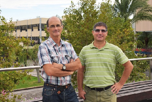
One of the main advantages of this new model is that it can be applied when the census sections of the municipalities vary. «So far, these changes involve the loss of information related to previous regions, including its consequences for a correct decision-making. With our new model, we can use without difficulty the whole historical-statistical series of the area, which also leads to a better and more objective municipal management», says José Manuel Pavía, researcher from the Department of Applied Economics of the Universitat de València.
The main difference with regards to other methods used nowadays lies, precisely, in its spatial disaggregation, since it goes beyond the minor cartographic units with statistical information available in which the territory is divided today (census sections). In this way, it is possible a more complete knowledge of the inhabited areas and to establish more adequate and rational management policies, allowing a more objective decision-making of the government.
The project has been published in the ‘Geographical Analysis’ magazine, in which 17 different disaggregation methods are evaluated and validated.
«There is a lot of statistical information whose analysis is used to articulate the different management policies of the cities associated with the census section. And if we are capable of dissecting the territory in much smaller spaces and distributing the population in them, we will better know which are its characteristics or its non-residential necessities. And, based on this information, we will prioritise some actions or other for the benefit of that concrete area of the municipality and its inhabitants.», explains Isidro Cantarino, researcher from the Earth Engineering Department of the Universitat Politècnica de València.
Flexible model
Among its multiple applications, the researchers also point out that it can be used to do mobility models of the population, the evolution of the vote and even epidemiological studies.

.jpg)


