
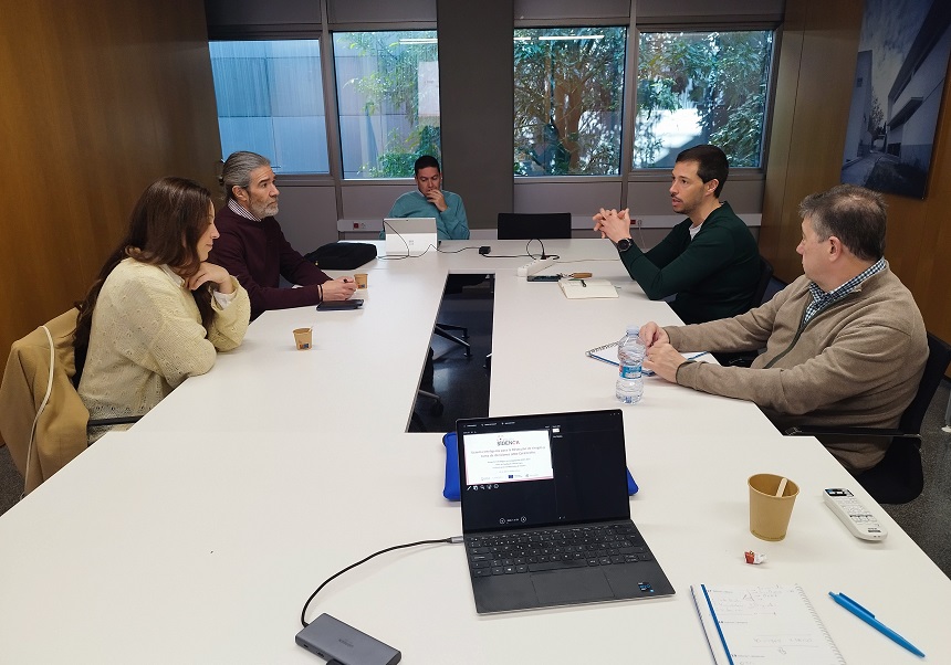
The SIDENCA project held a meeting with end-users on Monday, March 23rd at the University of Valencia Science Park. The meeting provided an opportunity to gain a more detailed understanding of the views, experiences and needs that will drive progress in the development of the climate event management platform that is the aim of the initiative.
The acronym SIDENCA stands for, in Spanish, “Intelligent System for Risk Detection and Decision-Making in the Event of Disasters”, an initiative that will implement an interoperable, scalable and multi-sectoral tool to manage information aimed at supporting those involved in the prevention and management of disasters resulting from climate change within the Valencian Community. This will improve the efficiency of natural resource use and minimise damage to ecosystems and biodiversity.
End users had previously taken part in a survey conducted as part of the SIDENCA project. Their views are essential to ensure that the platform addresses the challenges they face.
During the meeting, the project team gave a brief overview of the current status and invited attendees to share their comments and suggestions.
The SIDENCA consortium is led by the company Albavalor, and the private centre AINIA, the companies Innovageo and Lãberit, the University of Valencia and the Jaume I University are participating in it. The entities will contribute their knowledge of remote sensing; agriculture and drones; web platforms and geoportals; software development, technological solutions and sensors; data semantics and artificial intelligence; and geomodelling to the initiative respectively.
Through IRTIC, the role of the University of Valencia will focus on collecting, processing and structuring data such as satellite remote sensing, RPAS (Remotely Piloted Aircraft Systems), in-situ sensors and socio-economic parameters relevant to the prevention, detection and analysis of extreme weather events characteristic of the Valencian Community, among which are forest fires, floods, severe storms and heat waves.

The content of this publication is the sole responsibility of IRTIC (UV) and does not necessarily reflect the views of the European Union.


