
Searching for endangered species has led scientists to consider working with an unusual source of information about ecosystems: clouds that envelo our planet.
23 june 2016
During a new study, Yale and Buffalo University researchers concluded that data obtained from remote sensing about cloud cover is used as a tool to identify the location and size of animals and plants on the verge of extinction.
Previously, scientists had already analysed how different seasons affect to specifc ecosystems, but this left huge land areas without control.
“Understanding biodiversity spatial patterns is fundamental if we want to take informed decisions about how to protect species and manage biodiversity and its multiple functions”, said co-author Walter Jetz, Yale professor of ecology and evolutionary biology, and programme director of this university about biodiversity and conservation. “But for those regions that shelter more biodiversity there is a true lack of data on the ground”, he adds.
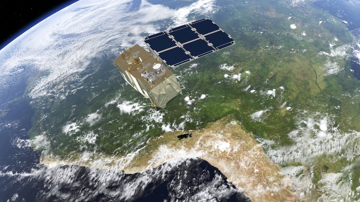
Jetz and the first author, Adam Wilson -who carried out most of the research in Yale and is currently pre-tenured professor in Buffalo - examined during 15 years Earth and Water satellite data from NASA to conduct an study. Both created a data base that includes two images each day with cloudiness for each square kilometer in the planet between 2000 and 2014. They also created interactive maps that allow us to identify and compare the patterns changes in cloud cover anywhere.
“When we visualise data, we could clearly observe different Earth biomes based in the frequency and cloudy days season in the last 15 years”, said Wilson. “As you cross from one ecosystem to another, that transition is evident, and what is fascinating is that those data allow the direct observation of patterns in less than a kilometer”.
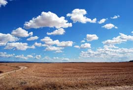
Cloud cover affects to a great number of ecological processes, and influence on environmental factors such as sunlight, rain, temperature and humidity, what conditions the place where animals and plants will live.
Using data obtained by monitoring clouds, researchers could determine the size and location of habitat of two species unprecedented: abird from South American continent called ‘montane woodcreeper’ and a South African bush called ‘Protea’.
“This work shows the important ideas drawn from scientific and environmental materia when using remote sensing in ecology” said Jetz.
“With the specific models we can not only define better the habitat and its species, but also we have a tool to help monitoring them during a long period”, concludes.