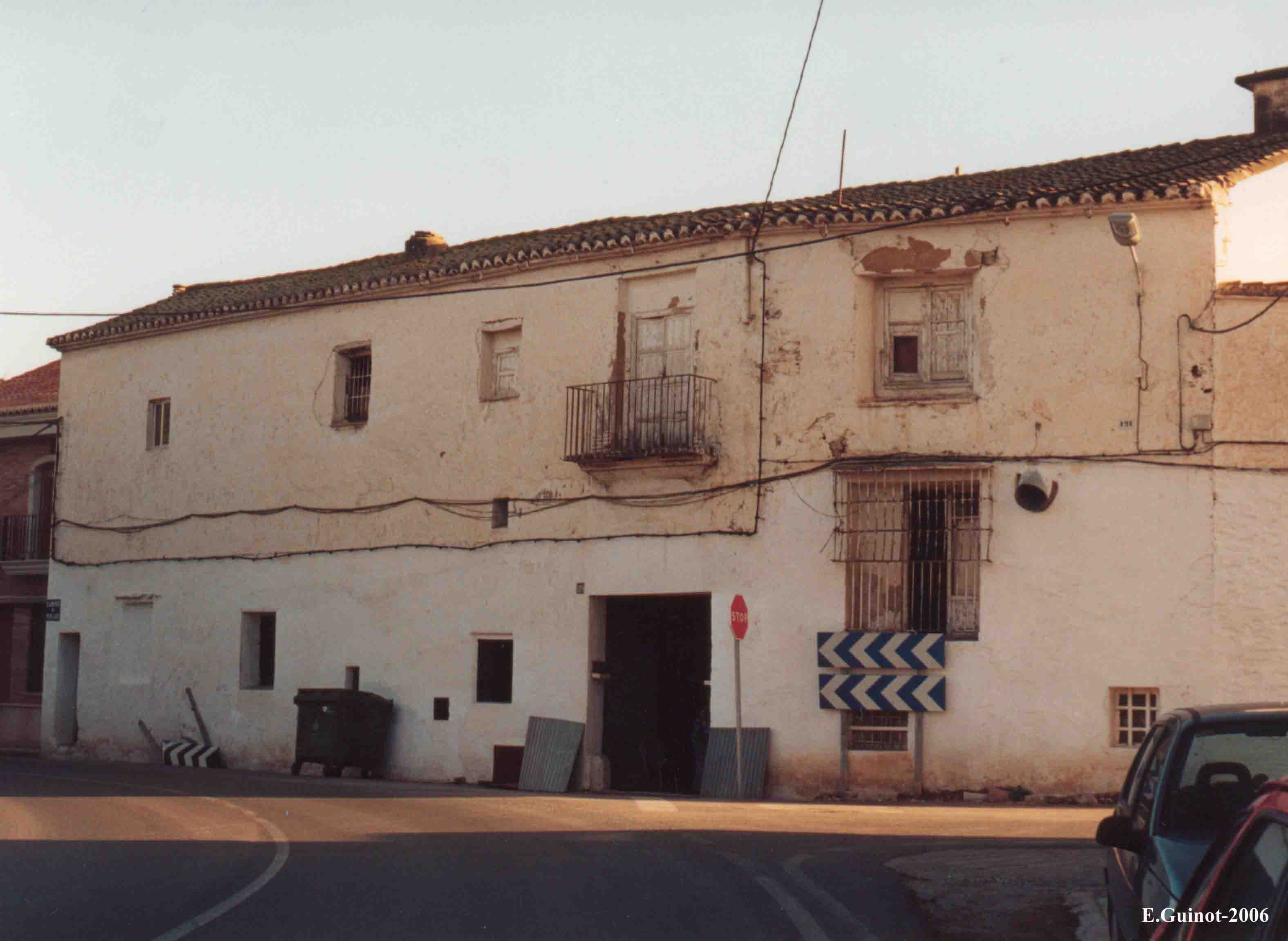
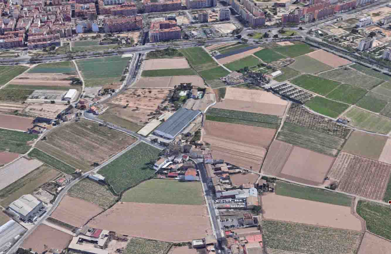
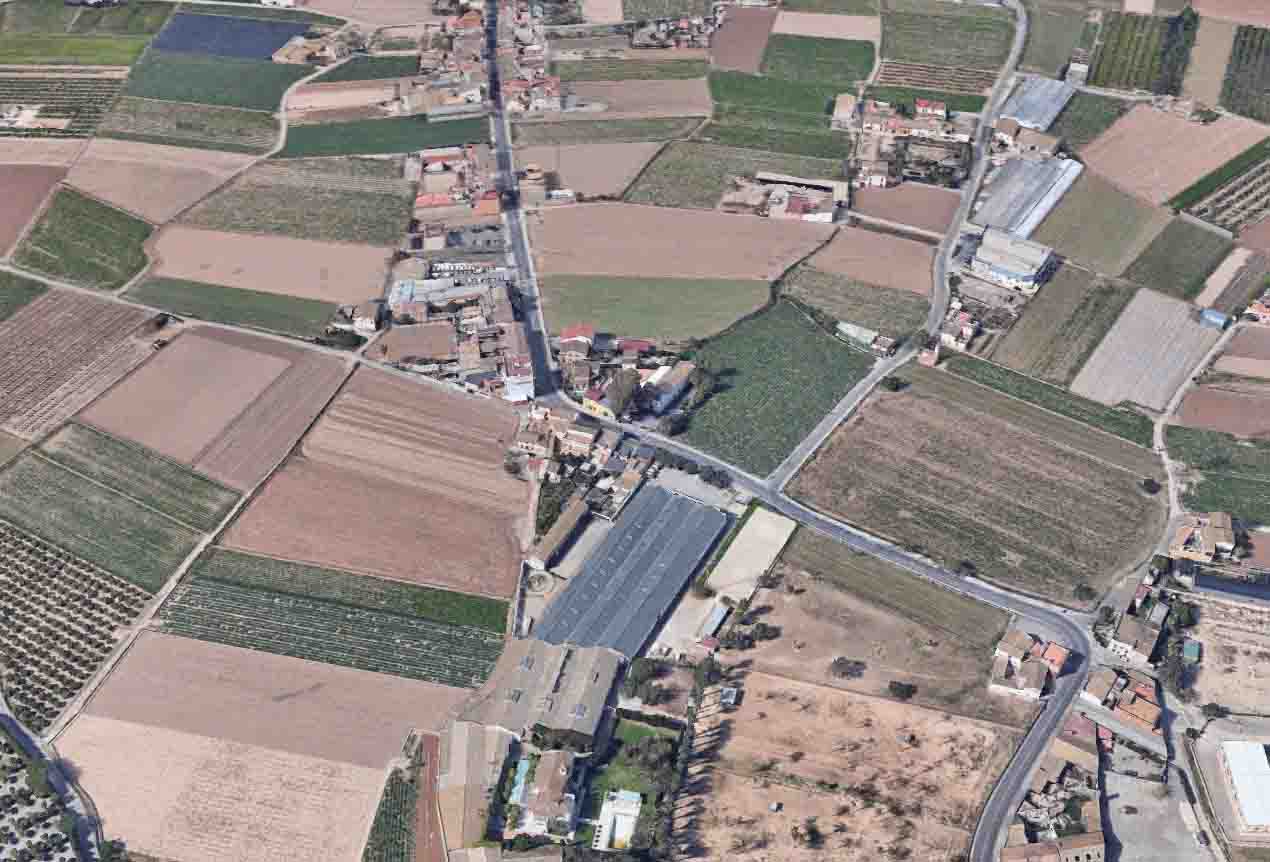
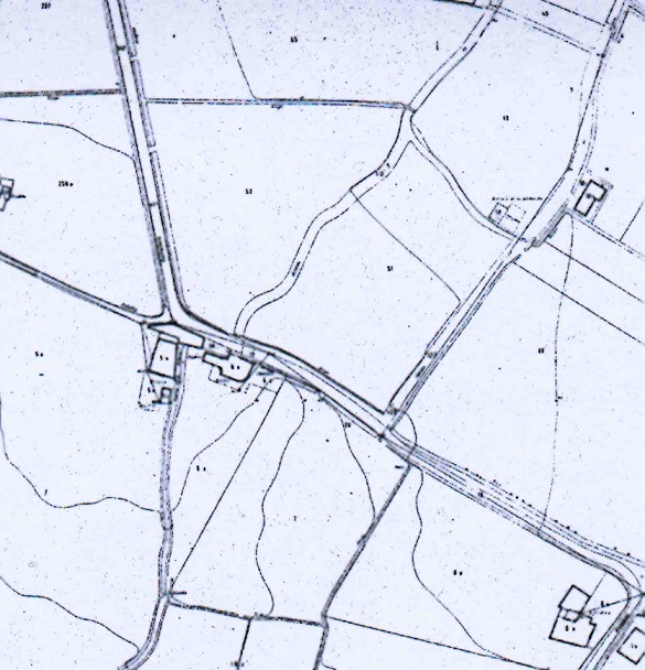
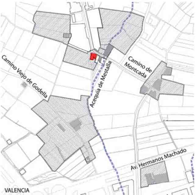
El molí està situat en el tram final del braç de Petra de la séquia de Mestalla i actualment forma part del caseriu de Poble Nou, a la mateixa vora del camí de València a Montcada i cantó a l’entrada al camí de l’Assagador de Poble Nou. Quasi al davant s’hi troba l’església de Sant Josep del dit poble. L’adreça és: camí de Montcada, n. 189, València.
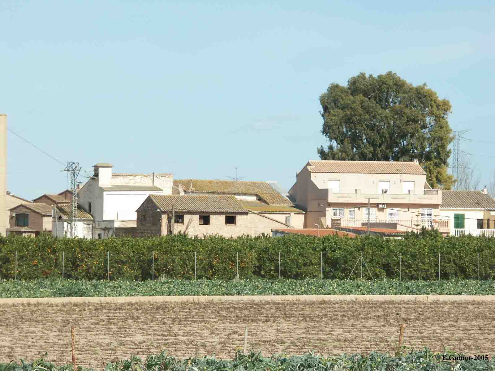
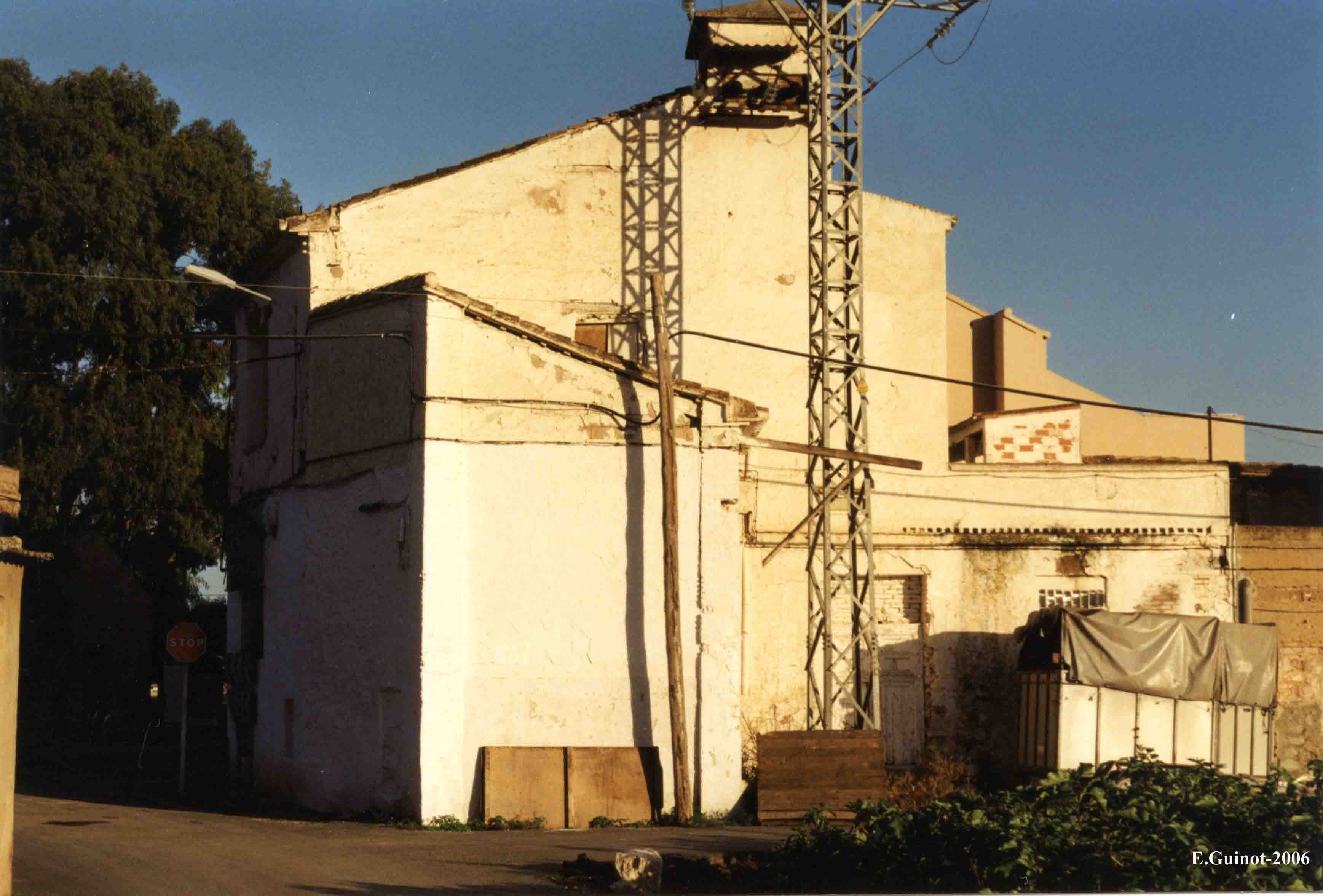
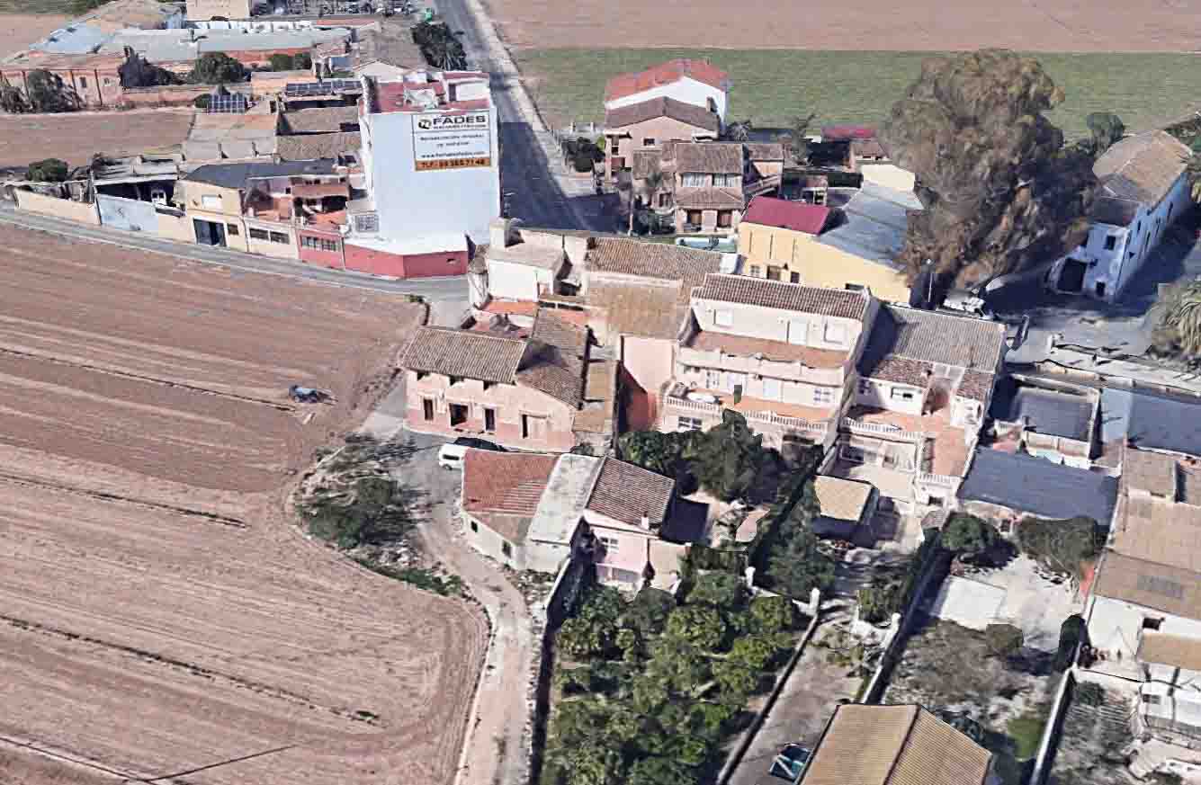
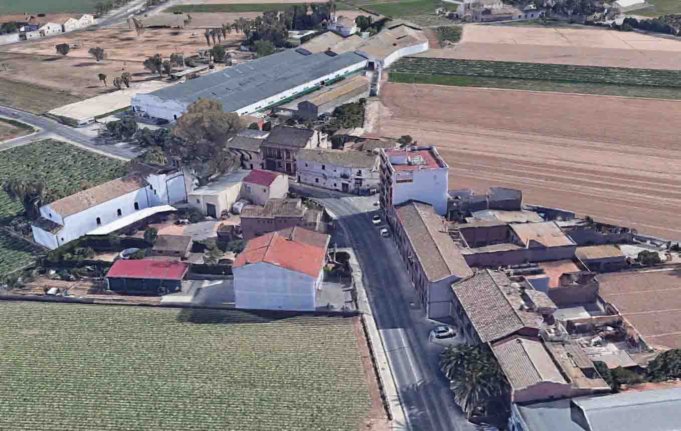
The ensemble of the alqueria (farmhouse) that includes the mill is in relatively good condition and maintains the spatial distribution of the part that was dedicated to the milling activity, but no significant remains of the milling equipment seem to be left.
From the beginning of the 19th century
According to Guinot and Selma (2005), it is the last mill on the Petra branch in the Mestalla irrigation canal and is a modern mill from the beginning of the 19th century. The first reference to it dates from 1817, when it was identified as a flour mill that was leased to Josep Donderis, a professional miller belonging to a family dedicated to this activity in l’Horta (the irrigated lands) of València between the end of the 18th century and the first half of the 19th century. The dictionary of the Valencian villages directed by Pascual Madoz in 1848 gives information about its functioning. The "Nomenclátor de las poblaciones de España", from 1887, specifies that it was a flour and rice mill with an annexed house of two floors. From oral sources we know that it continued to operate during the first half of the 20th century but changed its activity in the milling of animal feed and was now powered by electricity.
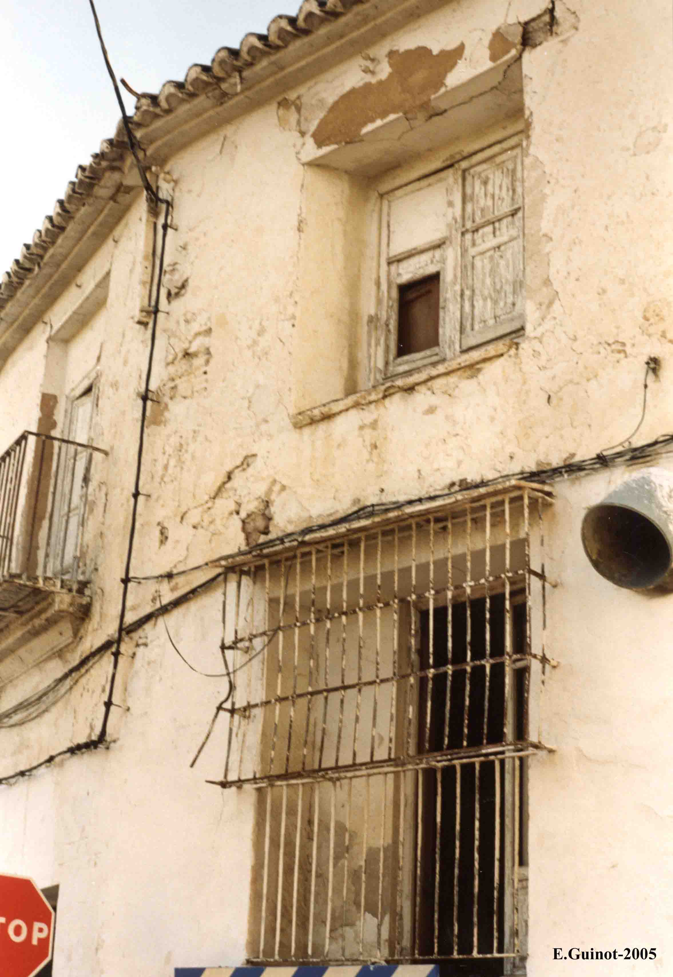
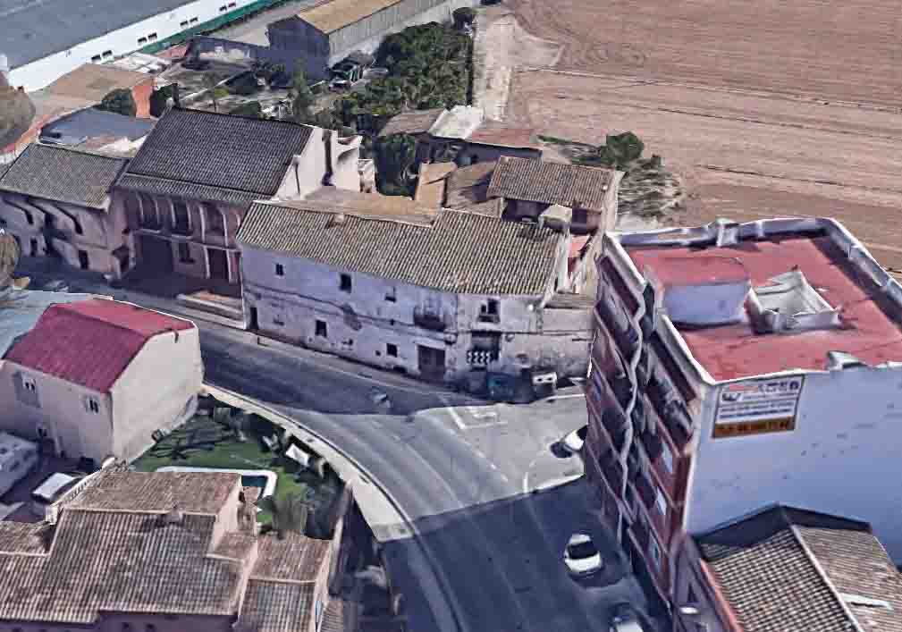
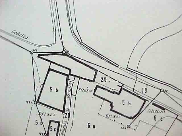
According to Guinot and Selma (2005), the Alters mill is part of a building ensemble made up of an alqueria (farmhouse) and the milling centre plus other complementary agricultural facilities. It consists of several buildings from different periods, although the alqueria-molí (farmhouse-mill) has a rectangular floor plan, running in an east-west direction and perpendicular to the Petra irrigation canal, which comes from the south and runs in a north-east direction. This main building consists of a ground floor and one upper floor, with a single corridor and a gabled Arab-tile roof. The main façade is parallel to the Montcada road, facing north, with several windows of varying sizes and a large main door providing access to both the house and the mill. The hydraulic part of the mill is buried and partly blinded, so it is not possible at the moment to identify its distribution and state of conservation with a simple glance.
- Plan de Acción Territorial de Protección de la Huerta de Valencia. Versión Preliminar. Memoria de Ordenación. Anexo. Fichas de Elementos de Arquitectura Hidráulica. Índice de Fichas, (dir. Arancha Muñoz), Generalitat Valenciana, 2008, Ficha EPH_08.02, p. 156.
- Revisió simplificada del Pla General de Valencia (2013): Catàleg de Béns i Espais Protegits de natura rural. (EPH-SU_17.01), pp. 581-584.
- Pla d’Acció Territorial d’Ordenació i Dinamització de l’Horta de València (PAT de l’Horta). Generalitat Valenciana, 2018. Catàleg annex. Element Patrimonial EPH_08.02, pp. 359 - 361.
GUINOT, E.; SELMA, S. (2005), Les séquies de l’Horta Nord de València: Mestalla, Rascanya i Tormos, Col·leció Camins d’Aigua n. 6, València, Conselleria d’Agricultura de la Generalitat Valenciana, pp. 170-171.
SELMA CASTELL, S. (2014). Paisatges històrics, patrimoni i didàctica. (Les séquies i les hortes del Tribunal de les Aigües de València). Tesi doctoral publicada en PDF. Castelló, Universitat Jaume I de Castelló, pp. 338-339.
ROSSELLÓ VERGER, V.M (1989): “El molins d’aigua de l’Horta de València,”, dins Los paisajes del Agua), València, Universitat d’Alacant-Universitat de València, p. 317-346 (p. 336).
GUINOT, E.; SELMA, S., LLORIA, R. (2003). El patrimoni hidràulic de les séquies del Tribunal de les Aigües de València. Informe elaborat per a la Direcció General de Patrimoni de la Generalitat Valenciana, Conselleria de Cultura, València.
HERMOSILLA J. (Coord). El patrimonio hidráulico del Bajo Turia. L’Horta de València. València, Direcció General de Patrimoni Cultural-Generalitat Valenciana, 2007.
GUINOT, E. (2005): “L’Horta de València a la Baixa Edat Mitjana. De sistema hidràulic andalusí a feudal”, Revista Afers. Fulls de pensament i recerca, n. 51, pp. 271-300.


Fotos: Càtedra L'Horta de València - Google Earth