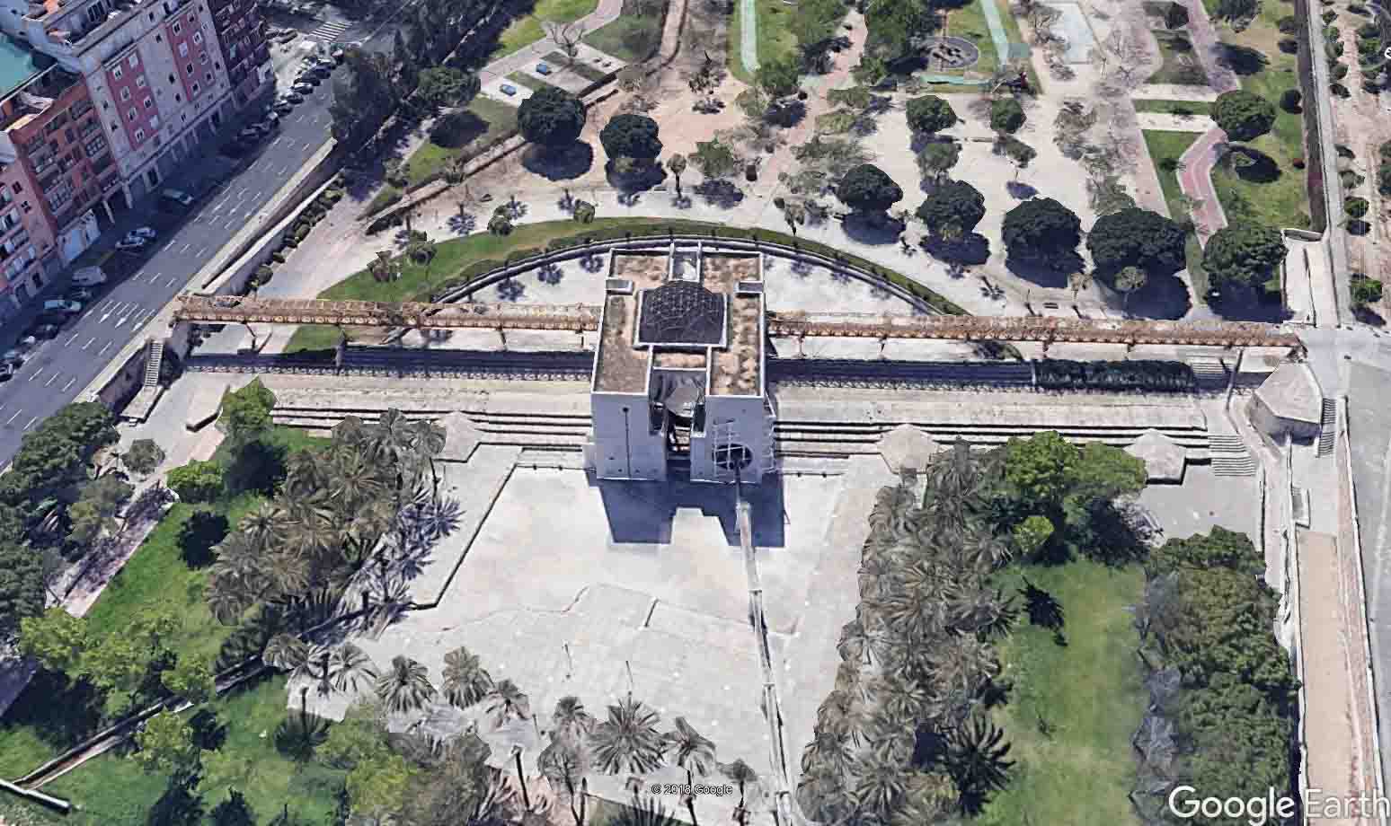
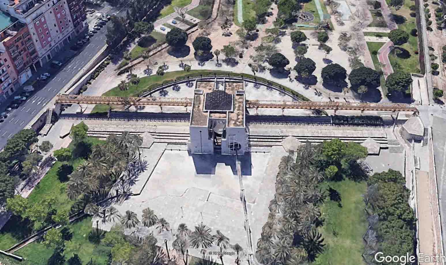
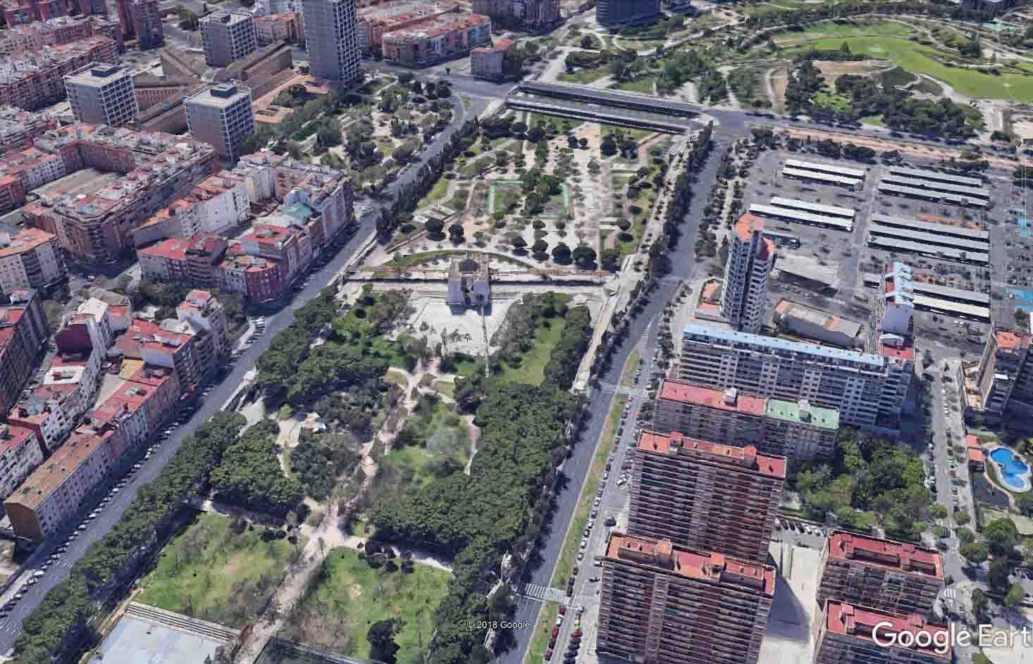
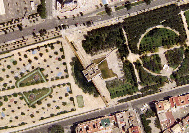
The Rovella irrigation canal diversion dam is located in the former Túria riverbed, between the Campanar and 9 d’octubre bridges.
The rehabilitation of the 1980s to incorporate it into the Túria Garden in the city of Valencia restored the slab steps, but at the same time it had a significant impact on the construction of a building in its centre.
Època Islàmica, obra actual dels segles XVI- XVII.
According to Guinot and Selma (2006, forthcoming) and Selma (2014), the Rovella irrigation canal is the last one to receive water from the right-hand side of the Túria river since medieval times (only at the end of the 19th century was the Oro irrigated canal made further downstream). Historically, Rovella, called in the late Middle Ages Ruzafa irrigation canal, was the “séquia de la ciutat” (the irrigation canal of the city), the one that carried water inside the urban centre, and watered the irrigated land closest to the city walls, the whole area around the current Ruzafa neighbourhood and the right bank of the Túria River from the current Colón street to Natzaret and La Punta. This area is known as the Valladar irrigation canal. Its diversion dam has its origins in the Islamic period, probably from the 8th and 9th centuries, as it is the one that brought water to the city. Following the Christian conquest in the 13th century in the time of Jaume I (James I), the latter allowed the creation of the Comuna de Propietaris de la séquia de Rovella (Commune of Owners of the Rovella irrigation canal) which has always been the owner of its dam and has been responsible for its repairs and maintenance. During the medieval centuries it was made of logs, wood and rocks, and the present stone diversion dam was built at the end of the 16th and beginning of the 17th century. In the following centuries it has been periodically restored to repair the breaks caused by the floods. In fact, this dam was abandoned by the Rovella irrigation canal in the mid-19th century and an agreement was reached with the Rascanya irrigation canal for the joint use of its diversion dam, taking the water from the right while Rascanya took it from the left. This also entailed changing the location of the discharge channel and gorges of the irrigation canal, as well as the construction of a new section of the séquia mare (main irrigation canal) up to this new diversion dam.
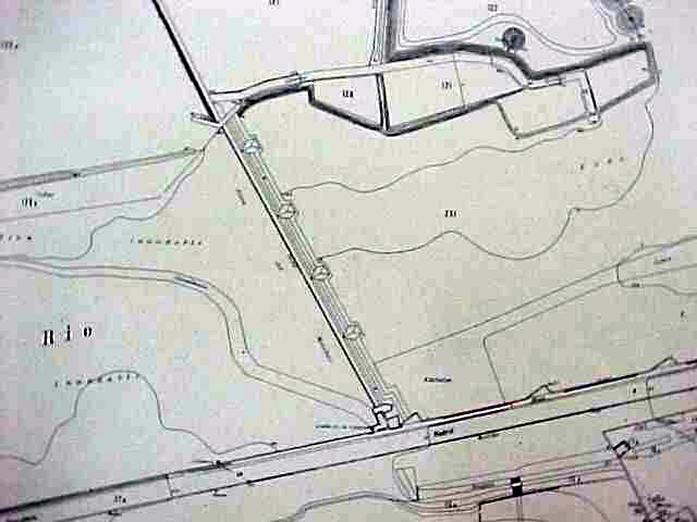
According to Guinot and Selma (forthcoming) and especially Selma (2014), the diversion dam, which was historic until the 19th century and has now been restored, has “a main wall that is over a hundred metres (328ft 1 in) long, the surface is slightly inclined with two asymmetrical slopes. The first of these is one metre (3ft 3.3 in) wide and receives the water's force by diverting it to the right, while the other is much wider because it measures 2,15m (7ft 0.6 in). It is worth noting the existence of small, embedded stone pinnacles measuring 22x22 cm (8.6x8.6 in) and arranged at regular distances of 95-105 cm (37.4-41.3 in). Facing them are the remains of the brackets of a possible trellis to retain all kinds of hanging elements carried by the stream. The diversion dam had a stairway with as many as three steps to avoid the effect of erosion, with a construction unitary with that of the central wall. It is worth noting the existence of the breakwaters in the form of buttresses that adapt to the aforementioned steps. Nevertheless, only three remain today, two on the right side and one on the left side of the diversion dam as a result of the destruction caused by the floods of 1957.
At the end of the diversion dam was the discharge channel. Only the entrance and the side walls of the diversion dam remain, with the grooves through which the sluice gate slid, the width of them being 4,25 metres (14ft 9.1 in). Just over 3 metres (9ft 10.1 in) from the diversion dam, it is still possible to see the start of the Rovella irrigation canal, with a width of 2,35 metres (7ft 8.5 in), although there is no trace of the gorges”.
- Revisió simplificada del Pla General de Valencia (2013): Catàleg de Béns i Espais Protegits de natura rural. Element EPH_SU_07.01, pp. 485-488.
- Pla d’Acció Territorial d’Ordenació i Dinamització de l’Horta de València (PAT de l’Horta). Generalitat Valenciana, 2018. Catàleg annex. Element Patrimonial EPH_10.04, pp. 799-800 (inclós en la fitxa de la séquia de Rovella).
- Inventari General del Patrimoni Cultural Valencià, Conselleria de Cultura, Generalitat Valenciana, Béns del Catàleg d’Etnologia, fitxa: “Assut de Rovella”. Autors: Lloria, R., Selma, S., Guinot.
- El patrimonio hidráulico del Bajo Turia. L’Horta de València. (Coord. J. Hermosilla), València, Direcció General de Patrimoni Cultural-Generalitat Valenciana, 2007, fitxa n. 130, p. 445.
GUINOT, E., SELMA, S. (2005, inèdit)) L:es séquies de l’Horta Sud de València: Rovella, Favara, Mislata-Xirivella, Benàger-Faitanar i Quart, València, Informe inèdit presentat a la Conselleria d’Agricultura de la Generalitat Valenciana.
SELMA CASTELL, Sergi (2014). Paisatges històrics, patrimoni i didàctica. (Les séquies i les hortes del Tribunal de les Aigües de València). Tesi doctoral publicada en PDF. Castelló, Universitat Jaume I de Castelló, pp. 270-273.
GUINOT, E.; SELMA, S., LLORIA, R. (2003). El patrimoni hidràulic de les séquies del Tribunal de les Aigües de València. Informe elaborat per a la Direcció General de Patrimoni de la Generalitat Valenciana, Conselleria de Cultura, València.
HERMOSILLA, J. (Coord.) (2007): El patrimonio hidráulico del Bajo Turia. L’Horta de València. València, Direcció General de Patrimoni Cultural-Generalitat Valenciana, 2007.


Photos: Càtedra L'Horta de València - Google Earth