
These are the specific competences of the Master's Degree in Remote Sensing:
- To understand the physical foundations of Remote Sensing and to be able to apply them in the analysis and treatment of data, as well as to know the main kinds of platforms and sensors of Remote Sensing and to identify the sensors for each kind of study.
- To understand the internal functioning of the remote sensing sensors, as well as to control its use and make the treatment of data provided.
- To understand, assimilate and use the geographical information systems.
- To know the basic characteristics of the storage formats of remote sensing images, be able to access to them and apply all the corrections that need and the validation techniques for the treatments they require.
- To read, to view and to extract physical parameters of the data provided by the diverse satellite images, user-level programming and to know to use the commercial software for digital image processing.
- To manage properly the diverse mathematical tools employed for the obtention of useful information of the images, to know to apply supervised and non-supervised classification techniques and to establish the eligibility criteria of each technique or various spatial and spectral resolutions of the images.
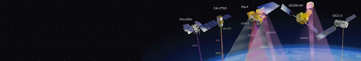
- To understand how to use the suitable for the observation of the atmosphere state, oceans and cryosphere and know how to perform the processing and analysis of data of interest in these media.
- To understand and control the definitions of the diverse biophysical parameters that can be obtained through remote sensing, as well as the algorithms used in this process and to know to use them in order to extract relevant information. To know how to use the instrumentation required to measure biophysical parameters and the processing and analysis of data provided.
- To know and use the bibliographical information sources and the database of satellite images in order to extract information by applying the scientific research methodology.
- To know some of the newest application of remote sensing, learn and apply the basic rules of publication of scientific results in the form of research articles, technical reports and theses.
- To integrate the knowledge acquired in the university education with the demands of workplace, to know how to detect the needs and situations of a company that need specialised knowledge and be able to identify the useful resources by developing skills for cooperation with professionals from other fields.
- To be able to update and summarise the state of knowledge of a subject work, to search and use remote sensing bibliography applied to multidisciplinary fields.
- To select, independently although supervised by the tutor, the best treatment of data for a study of a proposed topic, to develop organisation skills, with solid scientific information relating to the work in order to provide a coherent structure in its presentation both in its written and oral form.
- To be able to defend publicly in front of a specialised and non-specialised audience the submitted Master's thesis.


