-

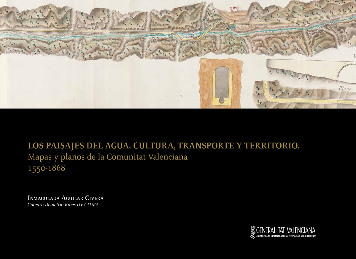
Water Landscapes. Culture, Transportation and Territory. Maps and Plans of Valencian Community (1550-1868)
AGUILAR CIVERA, Inmaculada
València: Council of Infrastructure, Territory and Environment , 2015. LlibreWater Landscapes. Culture, Transportation and Territory. Maps and Plans of Valencian Community (1550-1868) is the third publication of the historical carthography collection. This edition follows the panoramic format and high quality of previous editions. The selected documents correspond to maps and blueprints of public works for using the water gain relevance. Dams, drought, whater wheels or dykes integrated in the scenery create a compendium of two hundred maps of Valencian territory with reviews and introduction texts.
ISBN: 978-84-482-5997-6 -

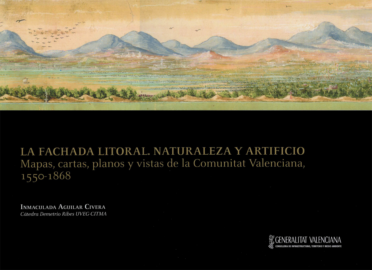
Coastline Front. Nature and Artifice. Maps, Blueprints, Charts and Views of the Valencian Community, 1550-1868.
AGUILAR CIVERA, Inmaculada
València: Council of Infrastructure, Territory and Environment , 2012. Llibre
ISBN: 978-84-482-5795-8 -

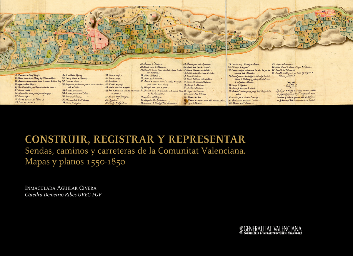
Building, Recording and Representing. Routes, Paths and Road of the Valencian Community. Maps and Blueprints 1550-1850
AGUILAR CIVERA, Inmaculada
València: Council of Infrastructure and Transport , 2009. Llibre
ISBN: 978-84-482-5346-2


