
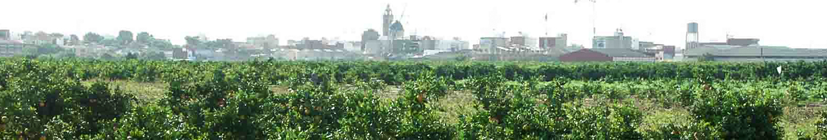
Societies of the past had the need to represent in a drawing the physical and territorial geography of a space, city, territory, politic entity or natural space. The reasons were obviously practical, such as the portolans or nautical charts of the Late Middle Ages, designed to direct the maritime route of the ships. However, it is true that the further back in time we go, the fewer the testimonies of maps and plans as they could not be made.
Because of this, the oldest cartography of the Horta of Valencia that we know dates back to the 17th Century. In reality, it displays the plan of the city of Valencia as a central object, even though it is partly surrounded by the Horta (crops). This also occurs in general in the following preserved maps of the 18th and even 19th Century, almost always presided by the fortified city.
Only in a few occasions was there a more extensive panoramic that included the total or partial territory of the Horta Nord and Horta Sud, but in a really schematic way. Examples of that are the maps done by the French army of Napoleon in 1812 and 1813 because of the siege and occupation of the city of Valencia. It is at the ending f the 19th Century when a coloured map was drawn to visualize the content of the Horta.
It should be pointed out that, in general, these old planimetries are quite simple and schematic. In occasions they are reasonably loyal to the location of the town, paths and irrigation ditches, but in other occasions they are merely approximate.
The radical change in the quality, exactitude and volume of information of the historical plans of the Horta of Valencia occur in the 1920s and the 1930s, when the State ordered, because of law, extremely detailed cadastral maps to topographers all around Spain. The result were magnificent planimetries on a 1:2500 level, even some in 1:100 levels, which are now of priceless value as an instrument to know the details of lands, irrigation ditches and paths of the Horta which have been destroyed and eliminated because of the urbanistic growth of the last century.
Due to the organisation of these maps and old maps, and because they are historical documentation, the originals are preserved in the public archives. Amongst them, the most important ones are the Arxiu del Regne de València, the Arxiu Municipal de la Ciutat and the Arxiu de la Diputació de València. Regarding cadastral plans of the Horta of Valencia, there are also copies of them in the Arxiu del Regne de Valencia, but they can be accessed easily from the municipal archives of the localities of the Horta as well as from the old Chambers of Agriculture.

Cartografía: Plan de Valence Aux Ordres de S.E. Marechal Suchet, Duc d’Albufera (1811)
El documento data de 1811 y fue elaborado por las tropas napoleónicas durante la batalla de València en 1811, encabezada por el Mariscal Mojado del ejército francés.
En el documento se pueden observar la red de caminos de comunicación de l'Horta de València, así como los núcleos de población existentes a las proximidades de la ciudad. Se puede destacar como elemento singular de esta cartografía el nivel de detalle en esta red y la representación de las líneas de asedio establecidas por el ejército francés a los principales caminos de la ciudad para bloquear los suministros a esta.
El documento original forma parte de la colección de la Cartoteca de la Universitat de València, situada a la primera planta de la Facultad de Geografía e Historia.

Cartografía: Plan de la Bataille de Sagonte Gagnée le 25 Octobre 1811 par l’Armée française d’Aragon aux patras de Son Excellence Le Maréchal Suchet Duc D’Albufera
El documento data de 1811 y fue elaborado por las tropas napoleónicas después de la batalla de Sagunto, ciudad que cayó en manos francesas en 1811.
En el documento se pueden observar la red de caminos de comunicación y la orografía de toda la zona de desembocadura del Palancia y l'Horta de València. Se puede destacar como elemento singular de esta cartografía el nivel de detalle en esta red y la representación de las líneas de asedio establecidas por el ejército francés a los principales caminos de la ciudad para bloquear los suministros a esta. Además la línea de separación entre l'Horta y el secano se encuentra muy bien delimitada y representada al mapa, representando la zona que actualmente se conoce como Huerta estricta por parte del PAT de Ordenación y Dinamización de l'Horta de València.
El documento original forma parte de la colección de la Cartoteca de la Universitat de València, situada a la primera planta de la Facultad de Geografía e Historia. Plano de Sagunto [Documento cartográfico]. N.p., 1812. Print.