

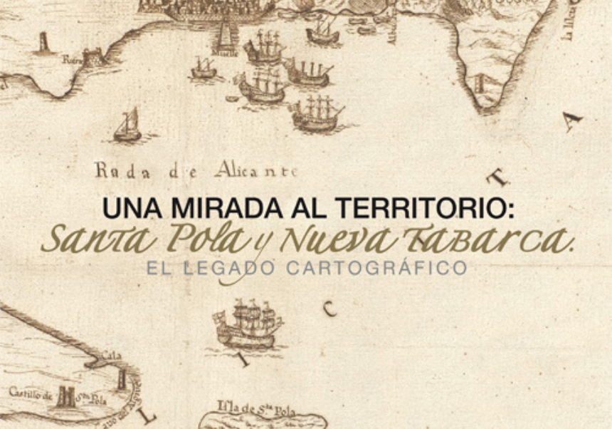
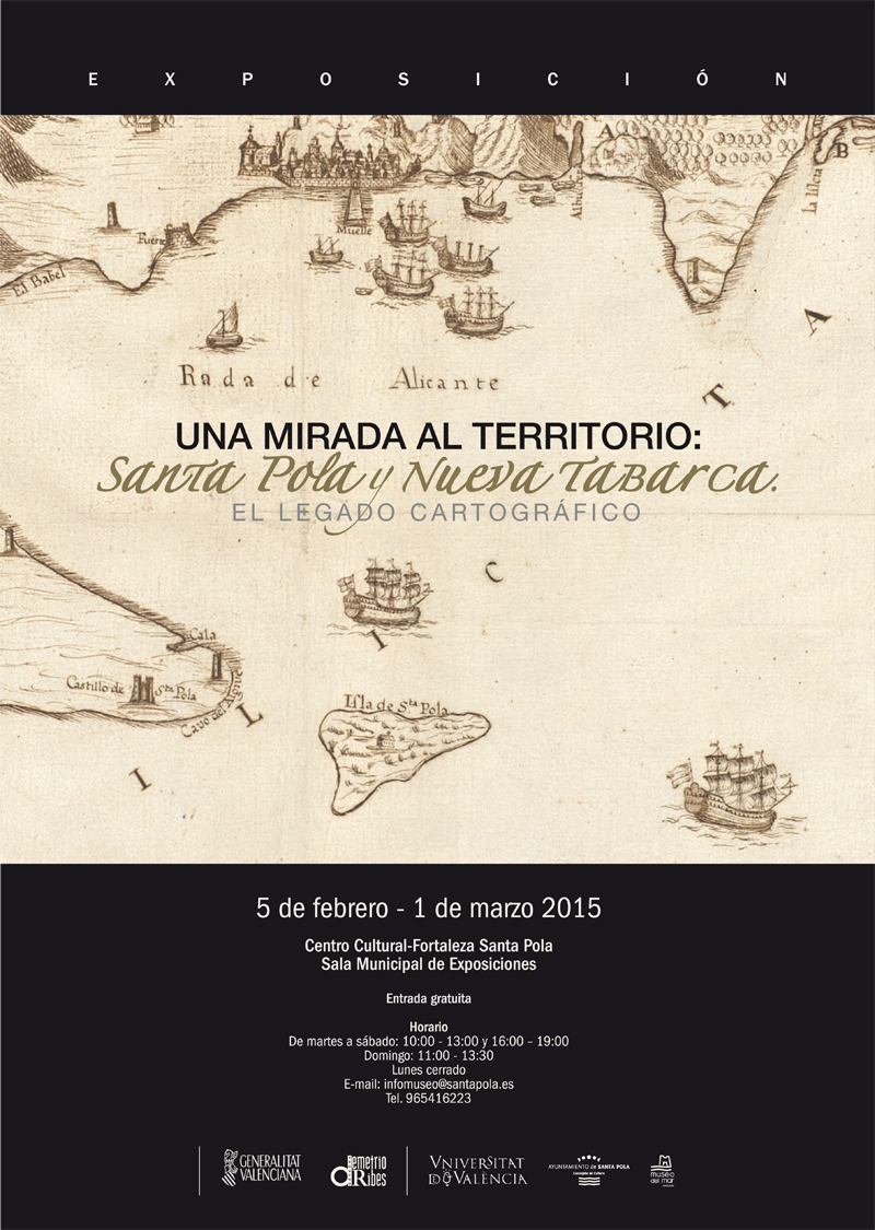
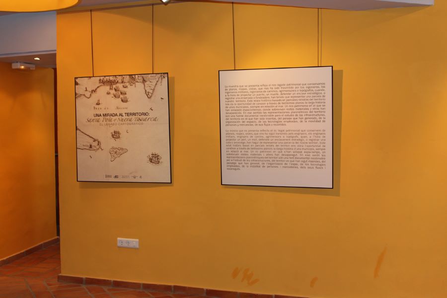
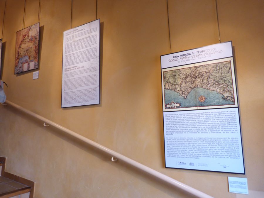
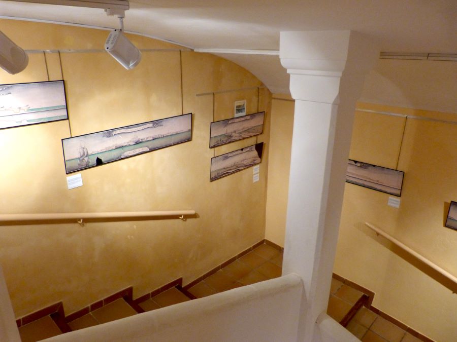
The Valencian Ministry of Infrastructures, Territory and Environment, via the Demetrio Ribes Chair, is proud to present the exhibition 'Una mirada al territorio: Santa Pola y Tabarca. El legado cartográfico' ('A Glance at the Territory: Santa Pola and Tabarca. The Cartographic Legacy'), in collaboration with the city hall of Santa Pola.
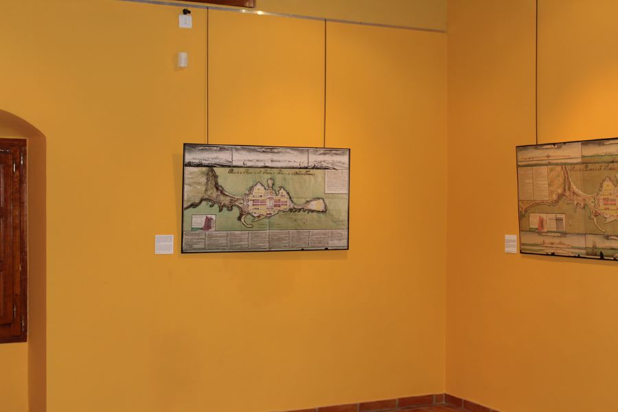
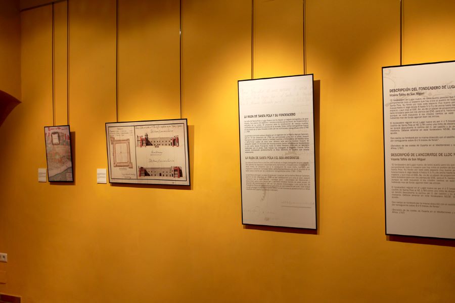
This exhibition reflects our rich heritage of plans, maps and views passed down by engineers, military and road engineers, surveyors and topographers who, when planning a port or dock, defending a strategic site or recording a cove or anchorage, had to find ways to represent this region. This historical journey, based on partial portraits of the territory, gives us the chance to get to know the long history of this region and its relationship with the sea through a beautiful selection of maps. This rich heritage stretches across space and time, with some surviving remains and other parts that have disappeared. For this reason, these planimetric representations of the region are an invaluable source of information to study infrastructures and the land on which they have been built, the landscapes they have created, the way the space has been organised and the technology used, as well as the movement of people and goods, including their routes and flows.
Exhibition Information
Santa Pola
Fortress-Castle Cultural Centre of Santa Pola
July 2014
Curatorship
Inmaculada Aguilar Civera
General Coordination
Rubén Pacheco Díaz
Mireia Sánchez Barrachina
Research
Laura Bolinches Martínez
Manuel Carreres Rodríguez
Susana Climent Viguer
Rubén Pacheco Díaz
Mireia Sánchez Barrachina
Design and Layout
Mary Ortega
Itinerancy
Santa Pola - Fortress-Castle Cultural Centre of Santa Pola. Municipal Exhibition room (5 February to 1 March 2015)
.png)
